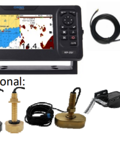

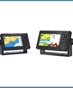
Onwa KCombo-7 7-inch GPS Chart Plotter with 600W FishFinder
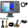
The 7-inch GPS Chart Plotter with 600W FishFinder combines navigation and fishfinding technology in one compact unit. Ideal for boaters and anglers, this device features a clear, 7-inch display, external GPS antenna, and high-performance FishFinder for superior underwater visibility.
Marine GPS Chart Plotter with 600W FishFinder
Navigate Smartly and Fish More Efficiently
The Marine GPS Chart Plotter with 600W FishFinder helps boaters and anglers explore waters with precision. It offers real-time sonar data and clear chart views. As a result, you can make better decisions on the go.
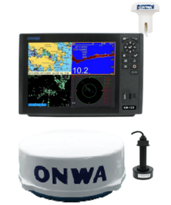
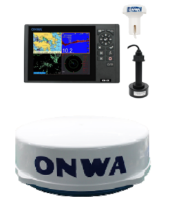
The KCOMBO-7 is a reliable and easy-to-use system made for boating and fishing. It comes with a 7-inch display that shows high-contrast images. Even in bright sunlight, the screen remains clear. The user-friendly interface helps you quickly check routes, water depth, and fish targets.
It uses 600 watts of sonar power to scan deep below your boat. As a result, it can clearly detect fish, rocks, and underwater shapes. This gives you more accurate and helpful information on every trip.
Moreover, the system has a strong GPS with an external antenna and a 4-meter cable. This allows it to get a fast satellite signal, even in remote areas. So, you can track your location and plan your path with ease.
The device is also simple to set up. The box includes the main KCOMBO-7 unit, a GPS antenna, mounting parts, and a quick-start guide. If needed, you can also add a transducer for better underwater views.
Built for rough weather, the KCOMBO-7 is waterproof and tough. Whether you’re out fishing or exploring, it gives you clear data, smooth tracking, and solid performance every time.
Technical Specifications
-
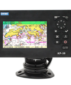
Display: 7-inch sunlight-readable
-
FishFinder: 600W sonar power
-
GPS: External antenna with 4m cable
-
Included: Unit, accessories, manuals, GPS antenna
-
Optional: Transducer
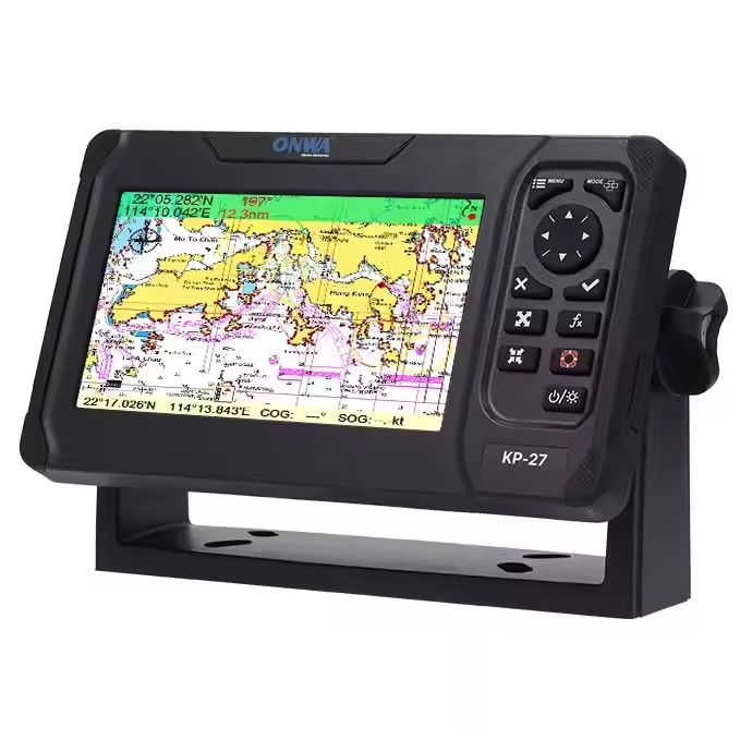
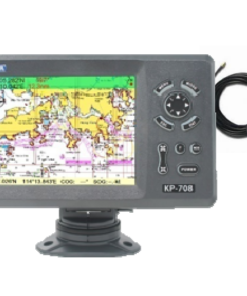
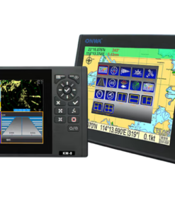
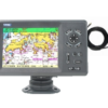
Related products

Chartplotter