AIS Systems – UAE & India
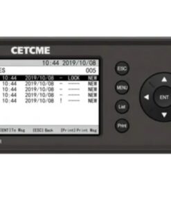
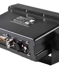
The Automatic Identification System (AIS) is a widely used maritime communication system that enables vessels to exchange real‑time information with nearby ships, shore stations, and other maritime infrastructure. AIS transponders installed on ships continuously broadcast data such as vessel identity, position, course, speed, and navigational status. This information is received by AIS receivers on other vessels and shore stations, allowing for enhanced situational awareness and collision avoidance at sea. AIS operates on VHF radio frequencies and utilizes a self‑organizing, time‑division multiple access (TDMA) scheme to ensure efficient communication among multiple vessels in the vicinity. Additionally, AIS data can be integrated with other onboard systems such as radar, electronic chart displays, and automatic radar plotting aid (ARPA) systems, further improving navigational safety and operational efficiency in the maritime domain.