GPS
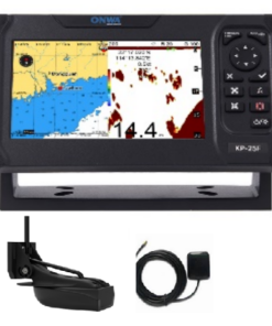
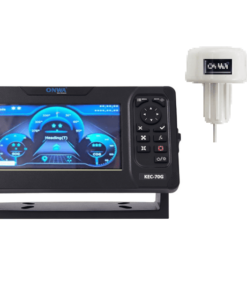
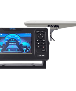
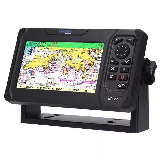
GPS, or Global Positioning System, is a specialized navigation system designed for maritime use. It operates similarly to standard GPS but is tailored to meet the specific needs of ships and boats navigating on oceans, seas, and other bodies of water. GPS receivers receive signals from GPS satellites orbiting the Earth and use them to determine the vessel’s precise position, speed, heading, and time. These receivers are often integrated into marine electronics systems, including chartplotters, radar displays, and multifunction displays, to provide comprehensive navigational information to the crew. GPS systems offer features such as waypoint navigation, route planning, tracking, and collision avoidance, enhancing safety and efficiency during maritime operations. They are essential tools for sailors, fishermen, commercial vessel operators, and recreational boaters, helping them navigate accurately and confidently on the water.