LRIT
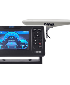
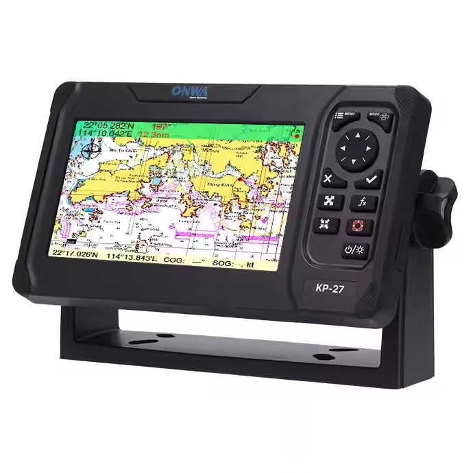
Long Range Identification and Tracking (LRIT) is an international satellite-based system mandated by the International Maritime Organization (IMO) to enhance maritime security, safety, and environmental protection. It enables the tracking of ships globally by collecting and disseminating information about a ship’s identity, location, date, and time of position. Ships over 300 gross tonnage on international voyages, including passenger ships, are required to report their position every six hours. LRIT data is accessible to flag states, port states, and coastal states, enhancing monitoring and response capabilities for security threats, search and rescue operations, and environmental monitoring.