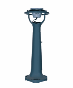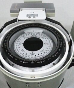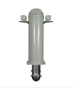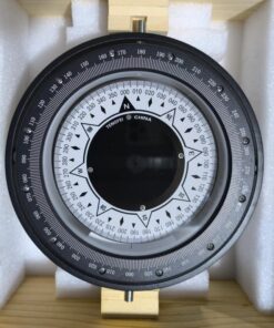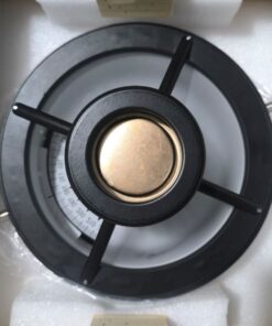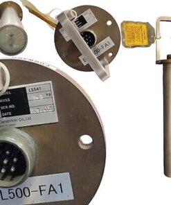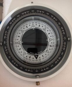
Magnetic compass
A Marine Magnetic Compass is a navigational instrument used to determine direction relative to the Earth’s magnetic poles. It consists of a magnetized needle or card suspended in a fluid-filled housing, allowing it to rotate freely and align with the Earth’s magnetic field. The compass card is marked with cardinal points (north, south, east, west) and degrees to provide directional information. Despite the prevalence of modern electronic navigation systems, the marine magnetic compass remains an essential backup and reference tool onboard ships and boats. It is particularly valuable in situations where electronic navigation systems may fail or become unreliable due to power loss, equipment malfunction, or interference. Marine magnetic compasses are known for their simplicity, reliability, and ability to provide basic navigation information in all weather conditions and geographic locations.