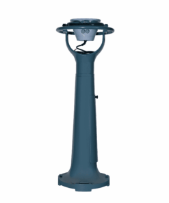
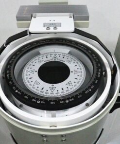
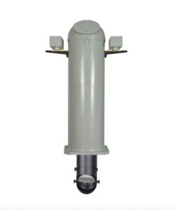
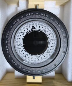
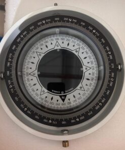
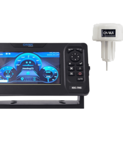
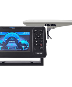
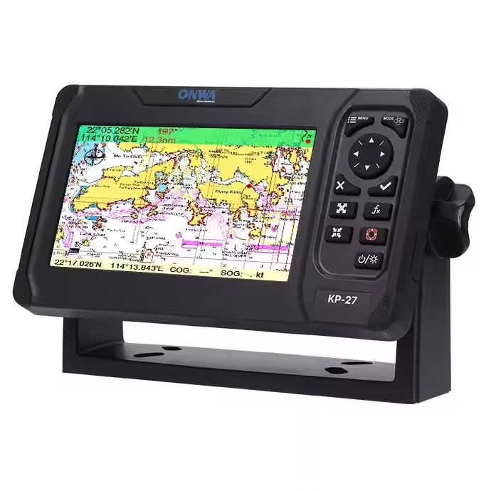
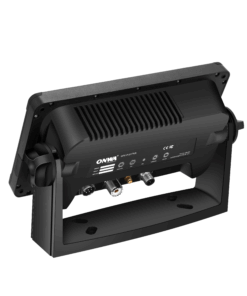
Satellite compass

A Marine Satellite Compass, also known as a GPS compass or GNSS compass, is a navigational device that determines direction using signals from satellite-based positioning systems such as GPS (Global Positioning System), GLONASS (Global Navigation Satellite System), or Galileo. Unlike traditional magnetic compasses, which rely on Earth’s magnetic field, marine satellite compasses use multiple satellite signals to calculate heading information. They offer high accuracy and reliability, even in challenging maritime environments with magnetic interference or deviation. Marine satellite compasses provide not only true heading but also other valuable navigation data such as speed over ground (SOG), course over ground (COG), and position. They are commonly used on ships, boats, and marine vessels for precise navigation, route planning, collision avoidance, and situational awareness at sea.

NAVCOM Enquiry

If you need marine communication equipment, radio survey, service, repair, or installation, SEANAV MARINE is here to help. Contact our team today.

FAQ Answer
What is a Satellite Compass? A Satellite Compass, also known as a GPS compass or GNSS compass, is a navigational device that determines direction using signals from satellite-based positioning systems.
How does a Satellite Compass work? A Satellite Compass calculates direction by receiving signals from multiple satellites and using them to determine heading information.
What satellite systems are used by Satellite Compasses? Satellite Compasses can utilize signals from systems such as GPS (Global Positioning System), GLONASS (Global Navigation Satellite System), Galileo, and BeiDou.
What advantages do Satellite Compasses offer over traditional compasses? Satellite Compasses provide high accuracy and reliability, unaffected by magnetic interference or deviation, and offer additional navigation data such as speed over ground (SOG) and course over ground (COG).
Are Satellite Compasses suitable for marine navigation? Yes, Satellite Compasses are commonly used for marine navigation on ships, boats, and other vessels due to their accuracy and reliability.
Do Satellite Compasses require calibration? Yes, Satellite Compasses may require initial calibration and periodic checks to maintain accuracy.
Can Satellite Compasses operate in remote areas? Yes, Satellite Compasses can operate globally, providing accurate positioning and heading information in remote areas.
What is the typical accuracy of Satellite Compasses? Satellite Compasses can provide heading accuracy within a few degrees and position accuracy within a few meters.
Are Satellite Compasses affected by weather conditions? Generally, Satellite Compasses are not significantly affected by weather conditions, although extreme conditions such as severe storms may impact satellite signal reception.
Can Satellite Compasses provide real-time navigation data? Yes, Satellite Compasses provide real-time information on heading, speed, and position, aiding navigation and situational awareness.